Hidden
Serra de Llaberia: A Remote Landscape Without a Summit Race
Use Llaberia village, the official Miranda circuit and firm turnaround rules to experience the massif without forcing a summit in poor conditions.
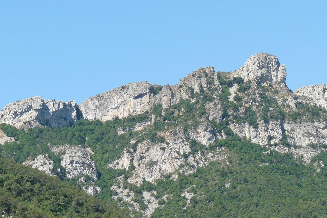
La Miranda is not required for a successful day in Serra de Llaberia. Start the official circuit only when visibility is clear, wind is manageable, everyone has water and the group has agreed when to turn back. If one of those conditions fails, explore Llaberia village and walk an out-and-back on the first signed section. The landscape does not become less real because a radar remains above you.
The Serra de Llaberia Consortium publishes a six-kilometre circular route from the old village to la Miranda, returning through Collet dels Collivassos. Its modest numbers—about 1 hour 50 minutes of walking and 264 metres of accumulated ascent—should not be mistaken for guaranteed ease. Rock, heat, fog and route-finding can matter more than distance.
Download the route before the road ends
Use the Consortium’s official route leaflet to save the mapped sequence before departure. Carry a second form of navigation that does not depend on mobile reception or a nearly empty battery.
Set the village of Llaberia as the actual start, not the name of the wider mountain range. Follow the legal signed approach and park only where permitted without blocking homes, agricultural access or emergency vehicles. The village is quiet for much of the year, but it is not an empty recreational facility.
Tell someone which circuit you intend to walk and when you expect to return. The Generalitat’s mountain-safety guidance advises checking the forecast and its evolution, carrying suitable equipment, keeping a group together and calling 112 in an emergency.
Read the circuit as a chain of decisions
From the village, the official itinerary initially uses the GR 7 toward the Colldejou path. After crossing the Llaberia gully, a junction leads toward the Portell de Llaberia. A later junction leaves the GR and climbs toward la Miranda.
Those junctions matter more than the summit name. Stop at each, identify the path you arrived on and confirm the continuation against both markings and the downloaded route. If the landscape and map do not agree, return to the last certain point. Do not select the track that merely appears to descend toward a road.
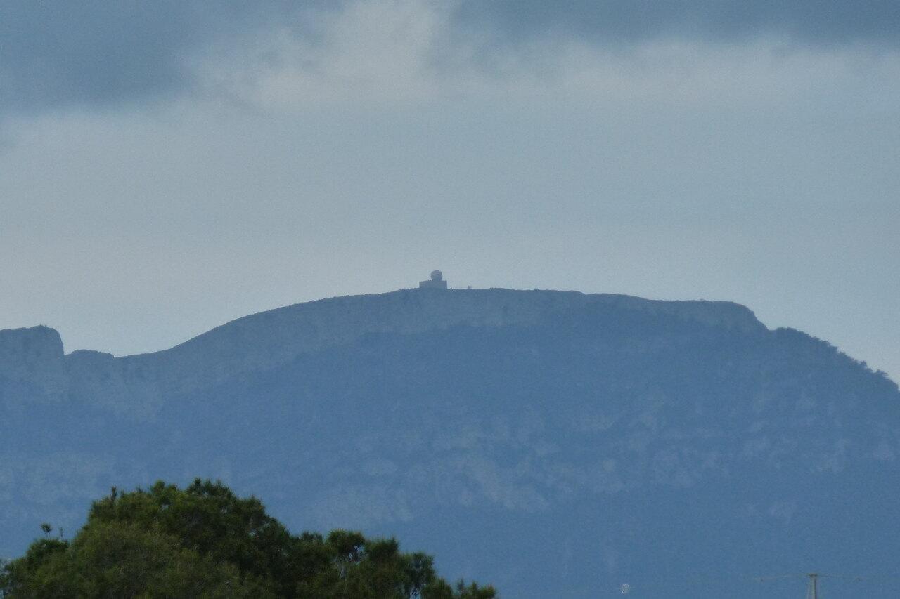
The line passes the Covetes de Cal Vaqué, where dry-stone remains beneath rock shelters recall pastoral use. Look without entering fragile cavities or moving stones. Beyond a small seasonal water hollow, tracks climb in bends toward the radar at la Miranda.
Water found on the route is not a resupply promise. Carry the full amount needed from the start. On hot days, add a reserve for a slower return; exposed limestone and scrub offer inconsistent shade.
Make la Miranda conditional
The radar makes the high point easy to recognize in clear weather. It does not make the approach navigable in fog or safe in strong wind. Turn back if cloud erases nearby reference points, gusts affect balance, thunder is possible, anyone is overheating or the agreed time arrives.
A sensible turnaround is based on the slowest walker’s condition and the time needed to retrace known ground, not on the distance remaining in an app. Keep at least half of your water and substantial energy for the return. A short route can still produce a long wait if someone is injured.
Do not approach technical edges for a photograph. Views toward Montsant, the Mola de Colldejou, the Camp de Tarragona and southern ranges open from safe positions in good visibility. When haze removes them, moving closer to a drop will not restore the panorama.
Return through Collivassos only while the route is clear
The official circuit descends from the Miranda area toward Collet dels Collivassos, then follows PR-C 90 markings back toward Llaberia. Near the village, it leaves the broader track and returns beside the football field and road.
Complete that loop only when you can still identify the route and conditions remain stable. If uncertainty begins before la Miranda, reverse the approach you know. A circular line on a map is not an obligation to continue into unfamiliar terrain.
Shortcuts damage ground and often remove the waymarks that make a retreat reliable. The route description mentions a descent shortcut in the mapped sequence; that does not authorize inventing new cuts through scrub. Follow current signs, since vegetation, maintenance and closures can change.
Use the village fallback deliberately
When wind, fog, heat or a late start rules out the circuit, spend time around Llaberia and take a short out-and-back toward the first clear junction. Decide the turnaround before leaving the village—30 or 45 minutes outward is enough to encounter the limestone setting without creating an uncertain loop.
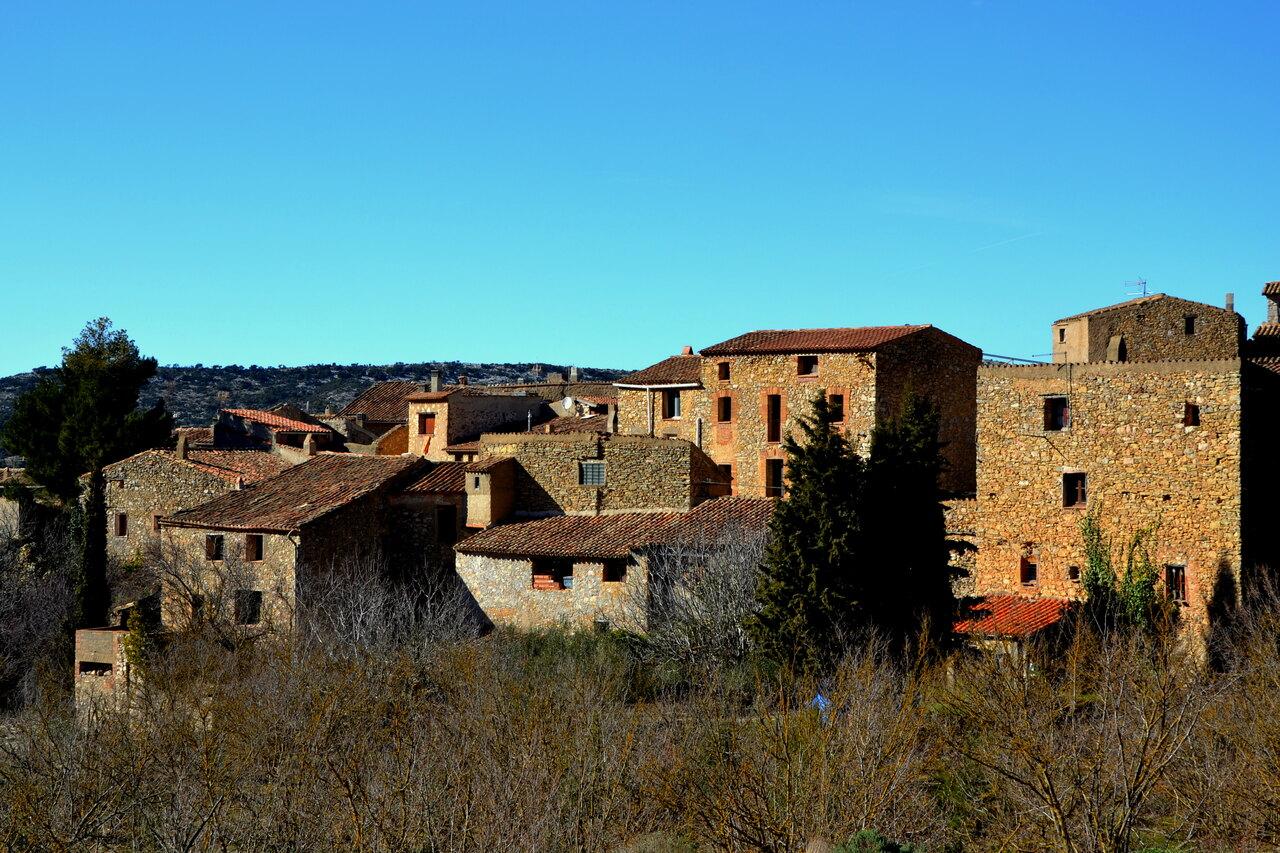
Keep to marked public paths, carry water and return on the same line. The village church, stone fabric and enclosed position below the high ground provide context for the old communication routes. Be quiet around buildings and take all waste away; limited services mean there may be nowhere to buy food or fill bottles.
Another official walk from a different settlement is not an automatic bad-weather substitute. The Consortium’s walking-route map covers itineraries across the massif, but each has its own exposure, effort and access. Choose one only after reading its complete current description.
Pack for a dry, exposed small mountain
Wear grippy walking shoes and carry a wind layer, sun protection, food, first aid, a charged phone and backup power. In cooler months add insulation; in summer start early enough to finish before the worst heat. Long trousers can be useful around scrub even on a short walk.
Fire restrictions can affect access and behavior in this dry landscape. Obey closures, never smoke or use flame, and do not park on vegetation. After heavy rain, gullies and surfaces can behave differently even if the sky has cleared.
The best measure of this day is not elevation gained. It is whether the group can explain where it is, return with margin and still notice the pastoral shelters, route junctions and changes of view. Serra de Llaberia rewards a visitor who treats turning around as part of the plan rather than evidence of failure.
Related guides
- Guimerà to Vallbona: A Hidden Urgell Village Route
Walk from hilltop Guimerà to Vallbona monastery through the Corb valley, with an honest plan for heat, visiting times, and the one-way finish.
- Mont-rebei Gorge: Check the Closure Before Planning the Hike
Plan Mont-rebei only after the wildfire and road notices clear, then treat La Masieta, water and the return distance as hard limits.
- Corbera d’Ebre Old Town: Reading a Landscape Left by War
Visit Corbera d’Ebre’s interpretation centre and ruined old town in an order that preserves historical context, physical safety and respect.
Are you in the know?
Receive new articles, local updates, and occasional offers from selected partners. We never share your email address. Unsubscribe at any time.
By subscribing you agree to our privacy policy.