Mountain
Cadí-Moixeró Hiking Guide: Planning a Responsible Pyrenees Day
Prepare for a day walk in Cadí-Moixeró Natural Park with realistic route choice, weather checks, and mountain safety.
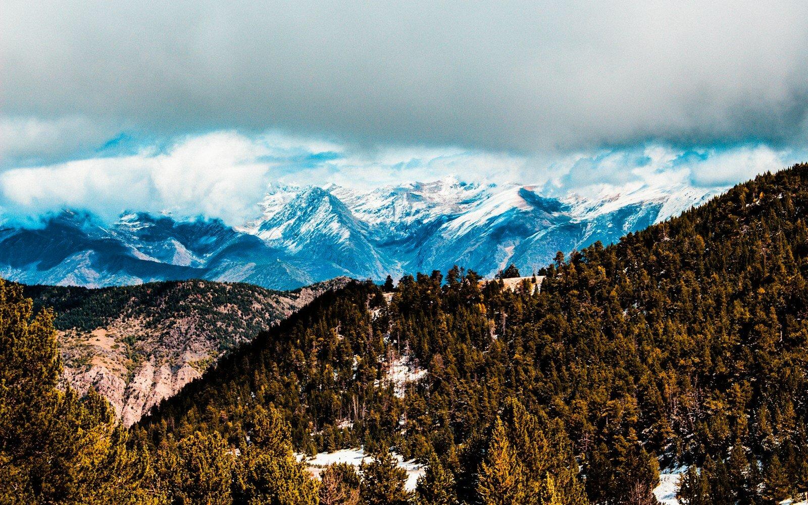
The long limestone wall of the Cadí range is one of the defining sights of the Catalan Pyrenees. Below it, Cadí-Moixeró Natural Park spreads across forests, high meadows, villages, and serious mountain terrain. There are walks for ordinary hikers here, but there is no single “Cadí hike” suitable for everyone.
Choose the day by ability and weather first; choose the viewpoint second.
A Concrete First Route
- Route: Estana → Coll de Pallers car park → signed PR-C 121 → Prat de Cadí → return the same way.
- Effort: allow 3–4 hours, about 8–9 km return, and roughly 430 m of ascent. It is a moderate mountain walk, not a paved viewpoint stroll.
- Transport: a car is the realistic option; the final approach is on local mountain roads. Start early enough to finish comfortably before afternoon storms or fading light.
- Budget: the walk itself is free. Allow €15–30 per person for shared fuel, food, and drinks from a nearby village; guided days commonly cost much more and should be priced directly.
- Carry: offline map, at least 1.5 litres of water per adult, food, sun protection, warm layer, and waterproof shell. Turn around if cloud hides the wall or thunder develops.
Route data checked August 2026 against the official Cadí-Moixeró map and guide. Check Meteocat and park alerts on the morning of the walk.
Where Should First-Time Visitors Start?
Use one of the park’s established gateways and visitor-information points to identify a marked lower or mid-elevation route. A valley walk or forest circuit often delivers excellent mountain views without committing the group to a ridge crossing.
Trail descriptions should include distance, ascent, expected time, and terrain. If you only know the distance, you do not yet know enough to choose the walk.
How Hard Are the High Routes?
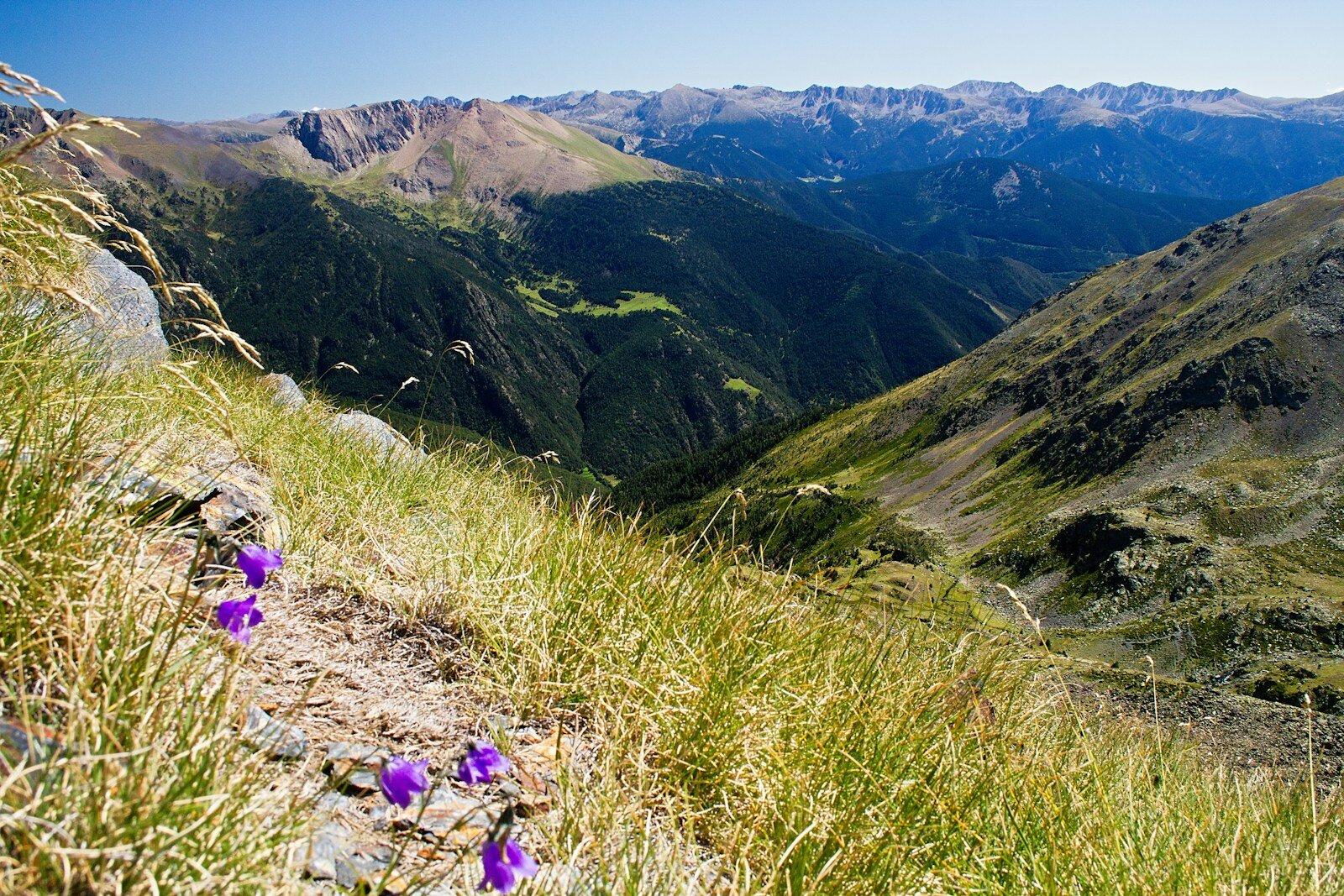
Routes to the main ridges and summits can involve sustained ascent, loose ground, exposure, and rapid changes in visibility. Some itineraries are long traverses rather than there-and-back walks. They belong to hikers with appropriate fitness, navigation, and mountain judgment.
What Should You Carry?
Carry water, food, sun protection, warm and waterproof layers, a charged phone, and offline navigation. Tell someone your intended route. In winter or lingering spring snow, ordinary summer equipment may be inadequate; seek current local advice.
What Weather Matters Most?
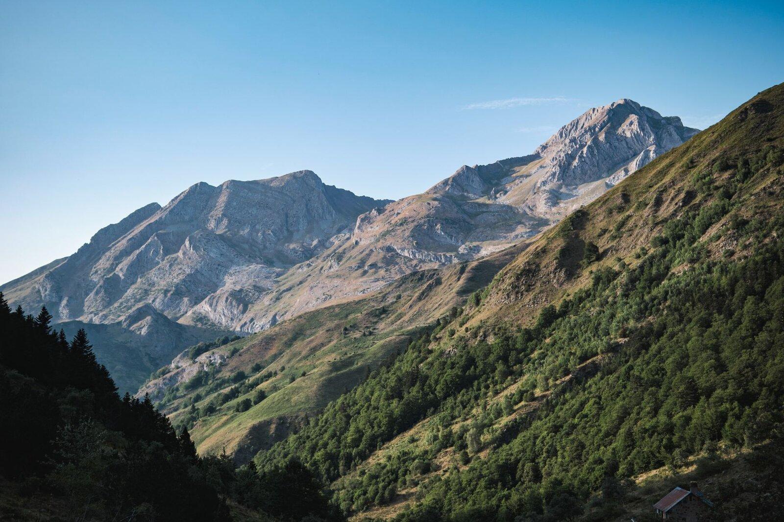
Thunderstorms, high wind, heat, cloud, and snow can each change the safe choice. Check a mountain forecast, not only the nearest town. Start early in unstable summer weather and avoid exposed objectives when storms are possible.
When Should You Turn Around?
Set a turnaround time before leaving. Turn back for deteriorating weather, slower progress, tired group members, route uncertainty, or simply a bad feeling. The mountain will still be there; making the calm decision is part of being experienced.
Are you in the know?
Don’t miss our latest Catalonia stories, routes, and practical travel tips.